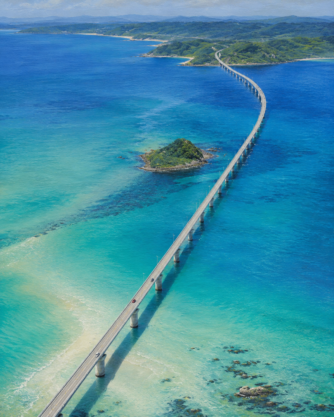
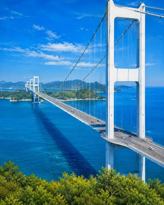
Bird's-Eye View of Tsunoshima Bridge across Azure Waters
Critique
Introduction This aerial panorama treats a long sea bridge as a single sweeping line between distant green land and the viewer. The high viewpoint reveals both the scale of construction and subtle geography beneath clear water. Description The bridge begins at the lower left, runs diagonally across turquoise sea, bends near the upper right, and reaches a forested peninsula. Regular piers and tiny lamp posts support its pale roadway; several cars appear as colored marks. A small rocky green islet lies near center. Reefs, sandbars, dark depths, beaches, hills, and distant ridges surround the route. Analysis The bridge is a continuous calligraphic stroke that divides but also links fields of blue. Its gentle curve prevents the long diagonal from becoming rigid. Repeated piers cast short shadows and establish scale; tiny vehicles animate the line with directional movement. Water changes from pale aqua over sand to cobalt in depth, exposing submerged formations like an alternate landscape. The central islet acts as a compact organic counterweight to engineered continuity. Interpretation and Evaluation From above, the bridge appears both impressive and vulnerable: a narrow thread across a vast marine field. It translates separation into traversable distance, while the visible seabed reminds viewers that connection passes over complex living terrain. Cars provide human measure and turn abstract geometry into actual use. The saturated water approaches scenic idealization, though geological variations resist uniform prettiness. The islet preserves a pocket of autonomy beside the route, suggesting that not everything is absorbed into infrastructure. Conclusion Through aerial scale, a graceful directional line, and transparent environmental detail, the work balances connection with vastness. The bridge conquers distance visually, but the sea remains the larger and more intricate presence.
Same Subcategory
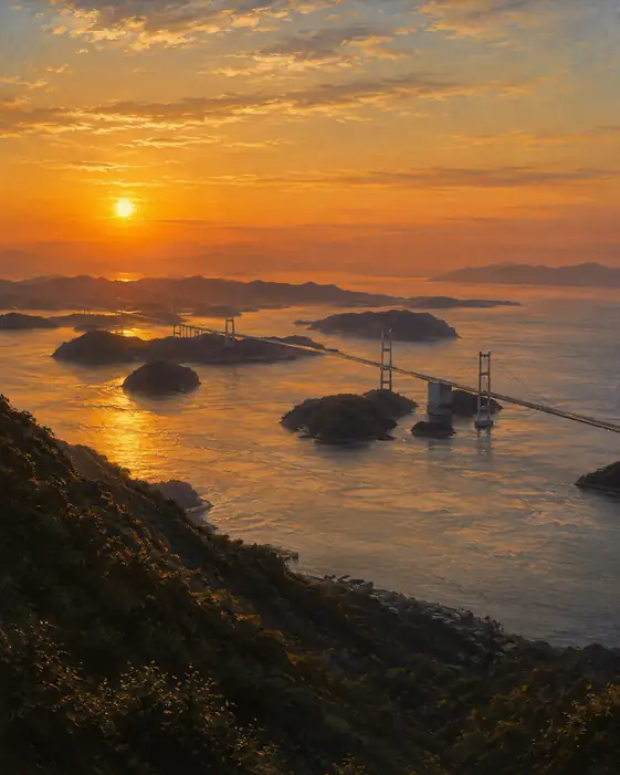 Golden Span Across the Archipelago
Similar Artworks
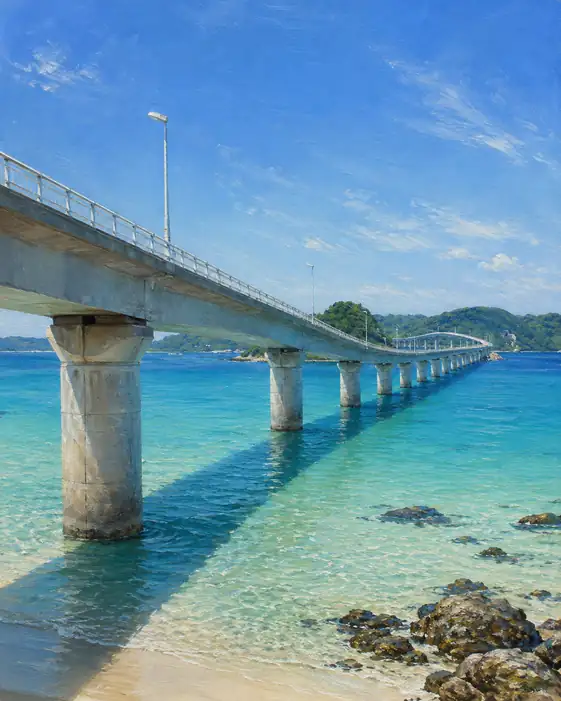 Until We Cross Every Color of the Sea
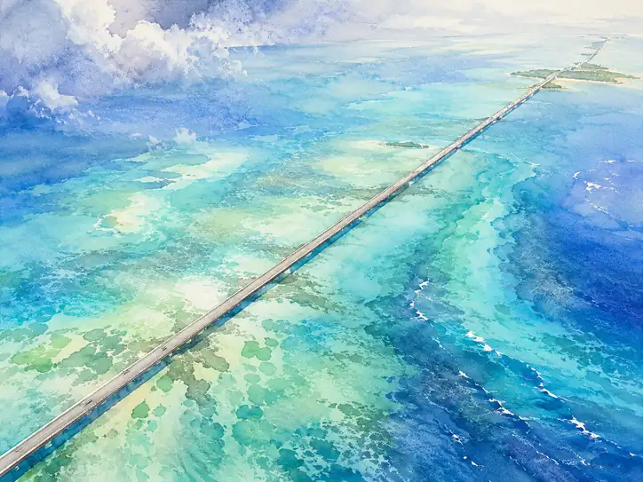 A White Path Between the Storm and Light
 The Road That Walks into the Sea
 A Path Suspended in Blue
 Boundless Azure Journey
 Azure Spanning of the Summer Solstice
 Bridge to the Golden Horizon
 Path Over the Azure Dream
 Bridges to the Cerulean Dream
 Azure Crossing and its Deep Shadow